
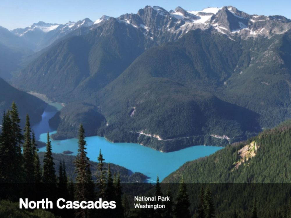
National Weather Service Issues Winter Storm Watch Across Washington
From the National Weather Service
URGENT – WINTER WEATHER MESSAGE…SIGNIFICANT SNOW AND BLOWING SNOW EVENT
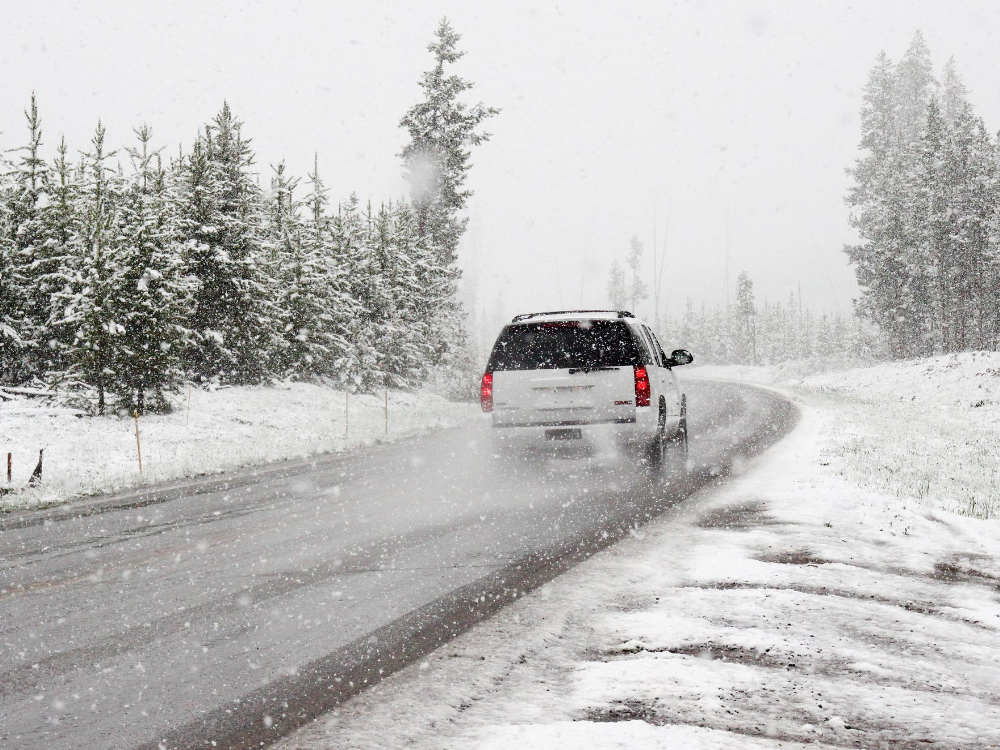
Bands of moderate to heavy snow are expected throughout Washington State Friday through Saturday. Snow will be followed by increasing north or northeast winds Saturday into Saturday night. Blowing and drifting snow will have the potential to reduce visibilities and cause some roads to become impassable.
In Eastern Washington, the Winter Storm Watch is in effect from Friday evening through late Saturday night
* WHAT…Heavy snow possible. Total snow accumulations of 3 to 5 inches possible. Winds could gust as high as 45 mph.
* WHEN…Light to moderate snow from Friday evening through Saturday. Blowing snow and wind gusts to 45 mph Saturday and Saturday night.
* ADDITIONAL DETAILS…Plan on slippery road conditions. Patchy blowing snow could significantly reduce visibility. The cold wind chills as low as 25 below zero could cause frostbite on exposed skin in as little as 30 minutes.
In Western Washington, the winter storm watch is in effect from Friday afternoon through Saturday afternoon
* WHAT…Heavy snow possible. Total snow accumulations of 5 to 8 inches possible. There remains some uncertainty in the details as a few areas could see a foot of snow while a few other locations may only see 2-4 inches. Windy conditions will develop late Friday night into Saturday with north winds 20 to 35 mph. Temperatures late Friday night through Saturday will fall through the 20s.
* WHEN…From Friday afternoon through Saturday afternoon. Heaviest snowfall accumulations are most likely Friday night into Saturday morning.
* ADDITIONAL DETAILS…Plan on slippery road conditions. Travel could be very difficult to impossible.
PRECAUTIONARY/PREPAREDNESS ACTIONS…
A Winter Storm Watch means there is potential for significant snow and blowing snow that may impact travel. Continue to monitor the latest forecasts.


