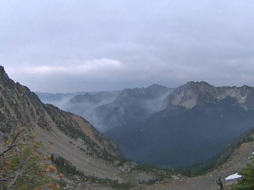
Remote cameras will monitor the fire which is expected to smolder until snow fall
Information released from USFS
The U.S. Forest Service has issued the final update on the Devore Creek Fire unless significant new activity occurs.
As of 8/12/19:
- Acres: 450 Location: 3 air miles southwest of Stehekin, WA
- Completion: Season-ending weather event
- Cause: Lightning
- Estimated Cost: $1,118,473 (as of Aug. 11)
- Initial Report Date: July 26, 2019 (ignited by the lightning storms that came through on July 23 and 24)
- Current Personnel: 18
Current Activity: About a quarter of an inch of rain fell over the fire area on Saturday and minimal fire activity was observed. While not a “season ending” event that would put the fire out, the rain, cooler temperatures and higher humidity have combined to slow fire activity significantly.
The Phoenix National Incident Management Organization (NIMO) Team that has been working on the Devore Creek Fire for the past thirteen days will transfer command to a local, Type 3 organization tomorrow morning. The NIMO team leaves behind a detailed plan of actions that can be used if the fire comes back to life in a way that threatens people or property. The fire is expected to burn until sustained rain or snow arrives in the fall. Until then, local fire personnel will use two remote cameras to actively keep an eye on the Devore Creek Fire and take action as needed.
Two National Park Service personnel are stationed in the Stehekin Valley and are ready to help coordinate additional actions if necessary.The National Park Service has reopened the portion of the Stehekin River Trail that was closed during the past two weeks. There are hoses deployed along the trail that would be used if the fire should advance close to the Stehekin Valley. We ask the public to leave all firefighting equipment where they find it. Three other trails that lead into the fire area remain closed for the safety of the public.
Beginning tomorrow morning, the phone number now associated with the fire will no longer be in use but people with questions can call the Chelan Ranger District at (508)-682-4900, Mon-Fri from 7:45am to 4:30pm. The incident Inciweb and Facebook pages will be updated if there are new developments.
Evacuations: None. (Stehekin is on Level 1 advisement status.) Visit Chelan County Emergency Management on Facebook for additional information. https://www.facebook.com/CCSOEM/
Closures: On the Okanogan-Wenatchee National Forest, Devore Creek Trail #1244, Company Creek Trail #1243, and Ten Mile Creek Trail #1241 are currently closed for public safety. Company Creek Trail is closed at the trailhead in Lake Chelan National Recreation Area.
Smoke Information: Air quality monitoring stations are located throughout the area, including Chelan, Twisp, Winthrop and (temporarily).


