Advanced Technology from Pano AI Allows for Rapid Response to Emerging Wildfire Threats
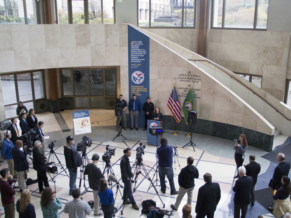
information released, DNR file photo
Commissioner of Public Lands Hilary Franz has announced a new pilot partnership to use advanced AI technology and actionable intelligence to combat the states’ growing wildfire threat. Technology from Pano AI would enable early detection and monitoring to provide richer data on wildfires as they emerge and allow for safer, faster, and more effective fire response. The partnership also supports prescribed fire practices by enabling additional visibility of the fire and utilizing the artificial intelligence to detect and notify of any concerning flare-ups.
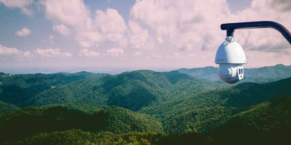
The pilot program will pair ultra-high-definition, 360-degree cameras, satellites and other data feeds with artificial intelligence to provide active wildfire detection and up-to-the minute situational awareness. Using cameras to identify smoke and fire immediately as it appears on the landscape and pinpoint the latitude and longitude or bearing line of a fire will significantly increase DNR’s ability to get resources on scene and alert nearby communities of danger in their area.
“As soon as smoke or heat is detected on the landscape, our fire managers can direct air and ground suppression forces to the source in record time. It also means more time for nearby communities to receive information from emergency services and act quickly if evacuations are required,” said Commissioner of Public Lands Hilary Franz. “When a fire is bearing down on your property, you don’t care how or when it started, you need to know that help is on the way right now.”
“We applaud Commissioner Franz and the State of Washington for being trailblazers in leveraging modern technology to combat the growing threat of wildfires,” said Sonia Kastner, CEO and founder of Pano AI. “Our team at Pano is made up of former fire professionals as well as world-class technologists who have come together to build the best possible tools for first responders. Our wildfire intelligence solution combines ultra-high-definition cameras, satellites, 5G, AI, and an easy-to-use software interface, all with the goal of making firefighting safer and more effective in the face of increasingly destructive climate-related threats. We’re excited to partner with DNR to demonstrate the impact of our technology across Washington State this fire season.”

Pano AI image


