
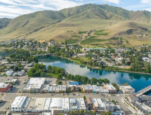
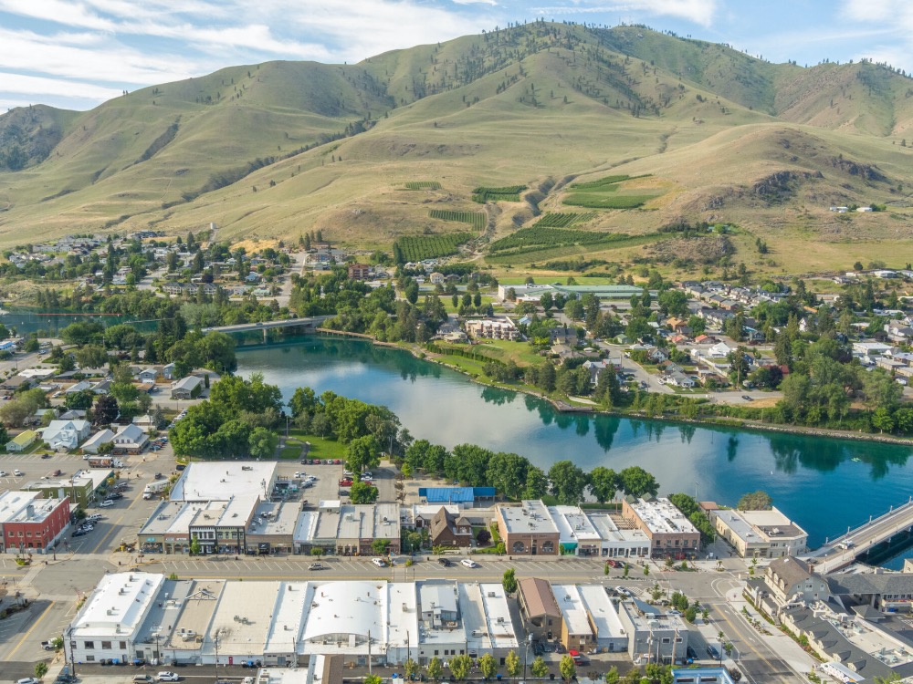
A variety of winter conditions are expected throughout the State
Information and graphics released by the National Weather Service
Starting on Wednesday night, the National Weather Service is calling for a mix of winter conditions that will impact travel throughout Washington State.
Heavy snowfall and icy conditions are expected in the foothills and higher elevations including all mountain passes through Thursday and into Friday, with lighter snowfall forecast through the weekend. Travelers should expect hazardous road conditions and potential delays in mountain passes.
WSDOT urges travelers to carry chains and emergency supplies and keep your gas tank filled. They also suggest travelers let someone know your intended route and when to expect you at your destination. Always check conditions before heading out – wsdot.wa.gov for statewide traffic alerts and delays and mountain pass reports.
Freezing rain and fog is forecast for Inland and Eastern Washington, while Western Washington is bracing for potential flooding.

National Weather Service: East Pac weather systems will impact the Cascades Wednesday through next weekend. Light snow showers with light accumulations will be possible on the mountain passes Tuesday night. A wet but better organized system will bring widespread snow overnight Wednesday and will likely continue through Friday with periods of moderate to heavy snow over the higher elevations. This system may impact some valley locations across eastern Washington as well with a wintry mix across most areas. The forecast becomes less certain into the weekend as snow over the Cascades Crest gradually decreases. Be sure to plan accordingly and continue to monitor the forecast for updates.

National Weather Service: As of December 17th @ 3AM: Significant snowfall accumulations are expected across the Cascade Crest from Wednesday night through Friday, along with some impressive snow totals across the higher mountain elevations of the Inland Northwest.

National Weather Service: A winter storm system is set to arrive Wednesday bringing unsettled wintry weather through the weekend. This will bring heavy snow to the mountains and impactful at the mountain passes. The lower elevations will see snow starting Wednesday night through Thursday, followed by rain and a chance for snow on Friday.


