
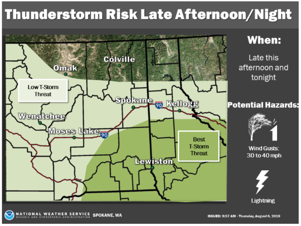
Thunder and Lightning Anticipated Late Thursday through Saturday
Information released by NWS – Spokane
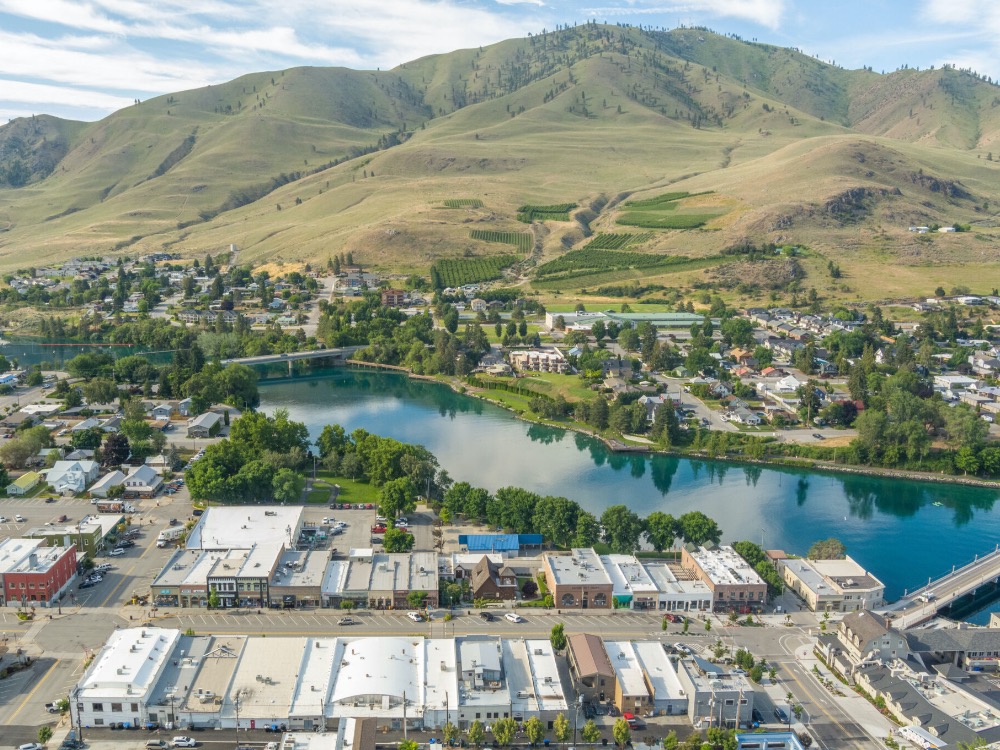
The National Weather Service has issued a Fire Weather Watch for Thunderstorms possible across Eastern Washington and Northern Idaho late Thursday/early Friday through Saturday.
A series of weather disturbances will move across Eastern Washington and Northern Idaho Friday into Saturday. These disturbances will have the potential to bring widespread Thunderstorms with abundant lightning, which could lead to new fire starts. Thunderstorms initially may produce little to no rainfall, but will transition to become significantly wetter late Friday into Saturday.
* Affected Areas:
- Fire Weather Zone 101 Northern and Central Idaho Panhandle (zone 101),
- Fire Weather Zone 673 East Washington Northern Columbia Basin (zone 673),
- Fire Weather Zone 674 East Washington Palouse and Spokane area (zone 674),
- Fire Weather Zone 676 East Washington South Central Cascade Valleys (zone 676),
- Fire Weather Zone 677 East Washington Central Cascade Valleys (zone 677),
- Fire Weather Zone 680 East Washington South Central Cascade Mountains (zone 680),
- Fire Weather Zone 682 East Washington Central Cascade Mountains (zone 682),
- Fire Weather Zone 684 East Washington Okanogan/Methow Valleys (zone 684),
- Fire Weather Zone 685 East Washington North Cascades (zone 685),
- Fire Weather Zone 686 East Washington Northeast (zone 686),
- Fire Weather Zone 687 East Washington Okanogan Highlands (zone 687).
* Thunderstorms: Widespread Thunderstorms with Abundant Lightning will be Possible.
* Outflow winds: Gusty and Erratic winds will be Possible With Thunderstorms.
* Impacts: New Fire Starts are Possible from Lightning Strikes. A Fire Weather watch Means That Critical Fire Weather Conditions are Forecast to Occur. Watch for Later Forecasts and Possible Red Flag Warnings.


