
The Next Winter Storm System is Approaching
Information released by NWS
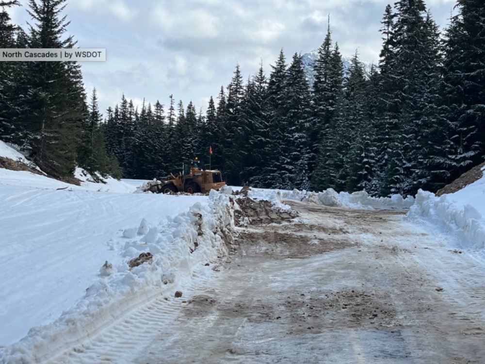
Another winter storm system is expected tonight and Saturday
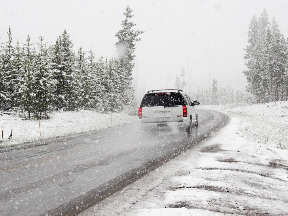
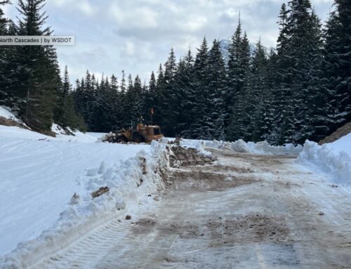
The next winter storm system will spread light snow over the area beginning Friday night. Snow will intensify Saturday morning before tapering off in the late afternoon. Heavy snow accumulations are possible in the Cascades and adjacent Columbia Basin areas as well as the Okanogan Highlands.
* What, heavy snow expected. Total snow accumulations of 3 to 6 Inches.
* Where, Wenatchee, Chelan, Entiat, Cashmere, Number 1 Canyon, Number 2 Canyon, Pangborn Airport, Omak, Okanogan, Brewster, Bridgeport, Nespelem, Disautel Pass, Waterville, Mansfield, And Badger Mountain Road.
* When, from 1am to 5pm PST Saturday.
* Impacts, travel could be very difficult.If you must travel, Keep a Flashlight, Food, and Water in your vehicle in case of an emergency.
The latest road conditions for Washington State can be obtained by calling 5-1-1.
