Strong Winds Expected Along with Hot, Dry Conditions and Low Humidity
Information and graphics released by National Weather Service
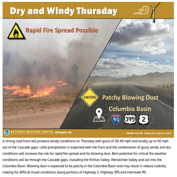
The National Weather Service has issued two separate alerts which impact North Central Washington. The first is an Urgent Fire Weather Message warning of strong winds Thursday, which coupled with hot, dry conditions and low humidity have the potential to start or spread fire. The second is a Hazardous Weather Outlook Thursday through the following Tuesday calling for gusty winds which contribute to very high fire danger. Fire officials urge extreme caution and would like to remind everyone of the fire bans in place.
URGENT – FIRE WEATHER MESSAGE – National Weather Service Spokane WA – 334 AM PDT Wed Aug 5 2020
STRONG WINDS ACROSS CENTRAL WASHINGTON THURSDAY…
.A strong cold front pushes through the region Thursday afternoon and evening delivering strong winds in the lee of the Cascades and across the Columbia Basin. Humidity levels along the Highway 97 corridor and into the Western Columbia Basin will be low enough to support rapid fire spread with any new ignitions.
…FIRE WEATHER WATCH REMAINS IN EFFECT FROM THURSDAY AFTERNOON THROUGH THURSDAY EVENING FOR WIND AND LOW RELATIVE HUMIDITY FOR FIRE WEATHER ZONES 673, 677, 684…
* Affected Area: Fire Weather Zone 673 East Washington Northern Columbia Basin (Zone 673), Fire Weather Zone 677 East Washington Central Cascade Valleys (Zone 677) and Fire Weather Zone 684 East Washington Okanogan/Methow Valleys (Zone 684).
* Winds: West 15 to 25 mph with gusts up to 45 mph.
* Relative Humidities: 20 to 30 percent.
* Impacts: The combination of strong winds and dry conditions will will contribute to rapid fire spread with any new or ongoing fires.
PRECAUTIONARY/PREPAREDNESS ACTIONS…
A Fire Weather Watch means that critical fire weather conditions are forecast to occur. Listen for later forecasts and possible Red Flag Warnings.

Hazardous Weather Outlook – National Weather Service Spokane WA – 447 AM PDT Wed Aug 5 2020
This Hazardous Weather Outlook is for portions of Central Washington…East Central Washington and North Central Washington.
DAY ONE…TODAY AND TONIGHT
Warm and dry weather conditions are expected today. Winds will increase slightly in the afternoon and evening with gusts of 20 to 25 mph. Any new fires that start will have the opportunity to spread swiftly.
DAYS TWO THROUGH SEVEN…THURSDAY THROUGH TUESDAY
A strong cold front Thursday will produce windy conditions with gusts up to 40 mph. This combined with dry conditions will elevate the risk for rapidly spreading fires during the afternoon and evening hours. In addition, patchy blowing dust will be possible which could impact visibilities on roadways.
For additional information, visit: National Weather Service Spokane


