
Thunderstorms producing heavy rain predicted to start Thursday afternoon
Information and graphics submitted by NWS
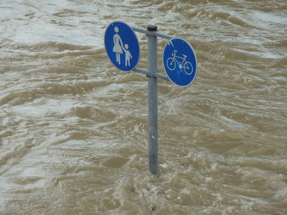
The National Weather Service has issued a flood watch in Chelan, Douglas and Okanogan Counties starting at 2:00 p.m. through late night Thursday. The flood watch is due to potential thunderstorms and widespread rain forecast into Friday.
Rainfall in amounts of a half inch to one inch are predicted but higher amounts are expected under thunderstorms which could produce flash flooding. Officials also warn about potential mud or rock slides in steeper terrain especially near recently burned landscape.
…FLOOD WATCH IN EFFECT FROM 2 PM PDT THIS AFTERNOON THROUGH LATE TONIGHT…
The National Weather Service in Spokane has issued a
* Flood Watch for portions of North Central Washington and Northeast Washington, including the following counties, in North Central Washington, Chelan, Douglas, and Okanogan. In Northeast Washington, Ferry.
* From 2 PM PDT this afternoon through late tonight
* Showers and thunderstorms will produce locally heavy rain this afternoon and evening. A few storms may be capable of producing flash flooding. Widespread rain amounts of a half inch to inch are forecast but higher amounts are expected under thunderstorms.
* Rapid rises on creek and streams is likely where heavy rain falls. Mud or rock slides are also possible in steep terrain especially near recent burn scars.
PRECAUTIONARY/PREPAREDNESS ACTIONS…
A Flood Watch means there is a potential for flooding based on current forecasts.
You should monitor later forecasts and be alert for possible Flood Warnings. Those living in areas prone to flooding should be prepared to take action should flooding develop.


